The Woodland Education Centre
Remote Sensing Experiment
Site Information
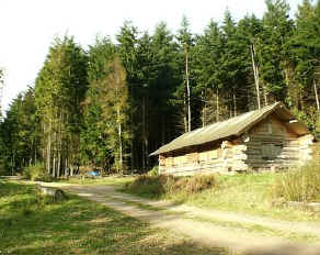 |
The Sensor Housed in a protective white tube, the temperature sensor is an electronic thermometer which is connected by a cable to the Log Cabin. From here, the signal from the thermometer is automatically read by a special computer program and the temperature displayed on a screen. This temperature reading is then uploaded to the Trust's website. The sensor is situated at about 135 metres (440 ft.) above sea level. |
 |
Looking East from the Sensor About 25 metres east of the sensor is the edge of a mature conifer forest. In front of the forest is a bank covered with Ling heather and various grasses. Both the bank and the forest lie on a westerly facing slope of about 8°. The tall trees and the slope hide the early morning sun for a few hours after sunrise. |
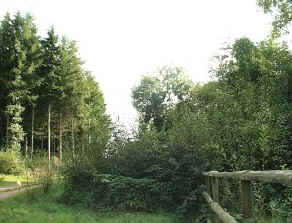 |
Looking South from the Sensor The view to the south looks along the length of a steep sided wooded valley with the slopes to either side. A forestry track runs south past the sensor. Conifer plantation can be seen to the east of the track while deciduous woodland lies to the west. The sky to the south is quite unobstructed by trees.
|
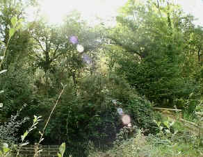 |
Looking West from the Sensor Deciduous woodland lies immediately to the west of the sensor and the slope behind it faces east. Some of the trees are tall, so the afternoon sunlight is dappled as the sun moves lower into the western sky behind the trees. |
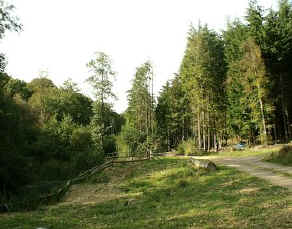 |
Looking North from the Sensor The ground immediately to the north of the sensor is fairly open and flat, but coniferous and deciduous woodlands can be seen in the background. |