Woodland Project Phase 2 Survey Report
Methods
| The methods used in this survey were the same as those used in the initial survey, with the following modifications. (For a description of the methods used originally, please access, Initial Survey - Methods.)
|
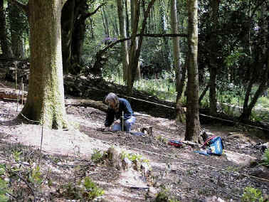
Plate 10.
Sampling the Ground Flora inside the 20m squares4. The height, area covered and number of regenerating rhododendron stumps was measured directly inside each of the 20m squares.
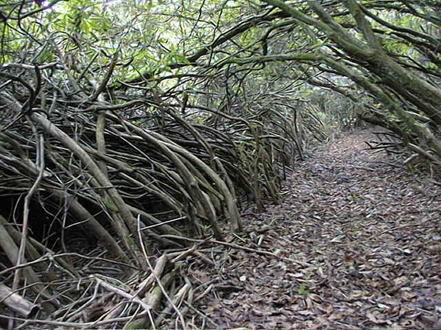
The path on the northern boundary (Plate 11) was cut out of the Rhododendron during the Pilot Project Phase, to allow access to Area 3. This image illustrates well the impenetrable nature of the Rhododendron undergrowth, particularly in the region of Area 2. Plate 11.
The path marking the northern boundary of the Project site
Woodland Project Phase 2
CONTENTSResults
General Tree Species Rhododendron Seedlings Mosses